If you’ve ever watched water trickle across a driveway after a rainstorm, you know it doesn’t always flow where you expect. Now, imagine the same process happening underground—beneath farms, cities, and forests—except you can’t see it. That invisible movement of water through soil and rock is what scientists call subsurface flow, and it’s one of the trickiest puzzles in environmental science. Recently, researchers have been pairing two unlikely allies—LiDAR and Ground Penetrating Radar (GPR)—to peel back the layers of earth and map how water actually travels beneath our feet.
Table of Contents
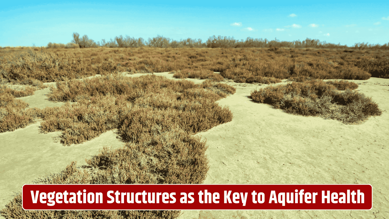
Why Subsurface Flow Matters
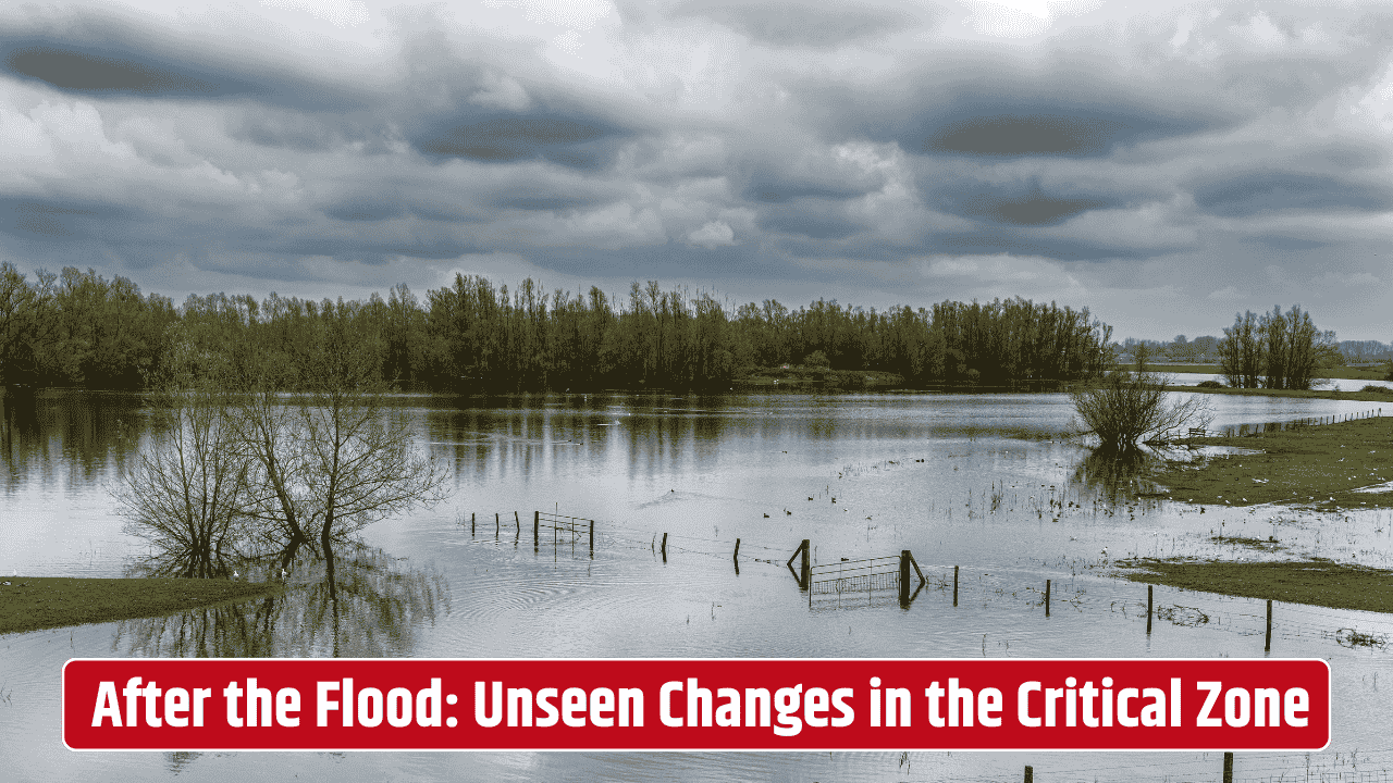
Subsurface water isn’t just about groundwater wells or aquifers. It influences everything from crop health to flood risks, even the way contaminants spread through soil. In urban areas, leaky pipes and stormwater infiltration complicate things further. Farmers, city planners, and climate scientists all need reliable ways to track these underground flows—but until now, the methods have been either too localized (like digging test wells) or too broad (like large-scale hydrological models that lack ground truth).
Enter LiDAR: A Bird’s-Eye View of the Ground

LiDAR—short for Light Detection and Ranging—uses laser pulses from aircraft or drones to map the surface of the earth in stunning detail. Think of it as a 3D scanner that captures every dip, slope, and bump on the ground. For water flow, those tiny details matter. Even a subtle ridge can redirect underground seepage, and LiDAR helps researchers spot the topographic clues. The U.S. Geological Survey’s 3D Elevation Program has already made LiDAR data widely available across the United States, allowing hydrologists to model water pathways more accurately.
But LiDAR has a catch: it only sees the surface. The underground story remains hidden. That’s where GPR comes in.
Ground Penetrating Radar: Peering Below the Surface
GPR works a bit like sonar, except instead of sound waves, it sends electromagnetic pulses into the ground. Those signals bounce back when they hit different materials—soil layers, rocks, water-filled pores. By analyzing the reflections, scientists can build a cross-sectional image of what lies beneath.
Unlike LiDAR, GPR can reveal the depth of water tables, preferential flow channels, and even buried fractures that guide water. Of course, it’s not perfect. High-clay soils or very wet conditions can scatter the signals, making data hard to interpret. Still, when used strategically, GPR gives a rare peek into the hidden plumbing system of the earth.
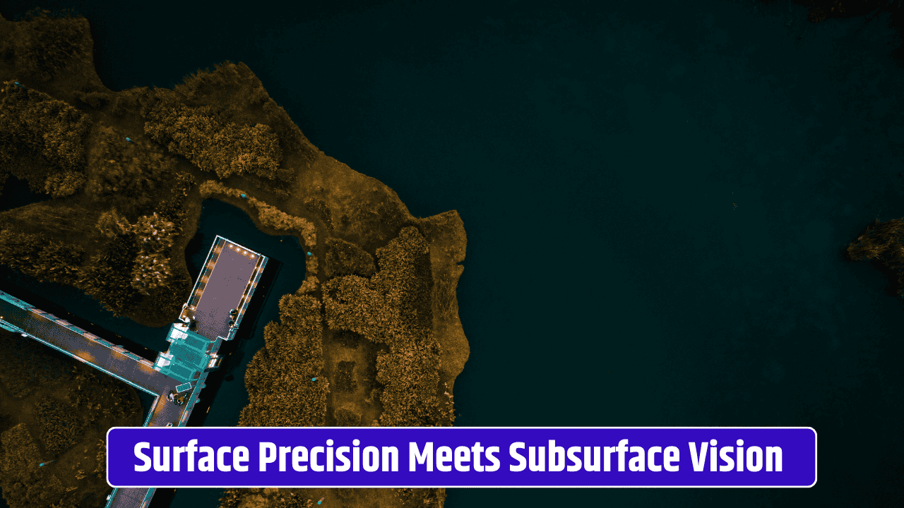
The Power of Combining LiDAR and GPR
When LiDAR and GPR are used together, the puzzle pieces start to align. LiDAR maps the surface slopes and depressions, while GPR identifies subsurface structures. Put them together, and researchers can trace how rainfall infiltrates, where it accumulates, and the exact paths it takes underground.
| Technology | What It Shows | Limitations | Best Use Case |
|---|---|---|---|
| LiDAR | Surface topography, slope, drainage patterns | Can’t see below ground | Large-scale mapping of flow potential |
| GPR | Subsurface layering, groundwater depth, flow channels | Reduced accuracy in clay-rich or saturated soils | Site-specific underground imaging |
| Combined | Surface + subsurface flow integration | Requires data fusion expertise | Comprehensive mapping of water pathways |
This hybrid approach is particularly valuable in flood-prone regions, where water doesn’t just travel above ground but also through hidden subsurface routes. It’s also gaining attention in agriculture, where precise irrigation and soil management depend on knowing how water moves below the root zone.
Real-World Applications

In the Midwest, researchers have used LiDAR and GPR together to map tile drainage systems—those buried pipes that keep farm fields from flooding. In urban settings, city engineers are testing these tools to predict how stormwater seeps into basements or weakens building foundations. And in forestry, hydrologists are exploring how subsurface flow affects landslide risks in steep terrains.
The potential even stretches to climate resilience planning. As rainfall patterns shift, knowing where underground water will accumulate or bypass entirely could help communities adapt smarter. NASA has even highlighted GPR’s role in hydrology research, pairing it with satellite data for large-scale monitoring.
Challenges and the Road Ahead
Of course, merging these two technologies isn’t a plug-and-play job. Data integration requires expertise, and equipment costs can be high. Plus, interpreting results often depends on local soil and geology, meaning one-size-fits-all solutions don’t exist.
But with the growing push for “digital twins” of watersheds—virtual replicas of landscapes that simulate how water moves—LiDAR and GPR are likely to become standard partners. As costs drop and datasets expand, we may soon have the ability to trace underground water flow almost as easily as we map a hiking trail.
FAQs
How deep can ground penetrating radar see?
Typically up to 30 feet in dry sandy soils, but only a few feet in clay-heavy or water-saturated ground.
Is LiDAR data freely available?
Yes, much of it is. The USGS 3DEP program provides public access to high-resolution LiDAR datasets.
Can these tools detect underground pipes?
Yes, GPR is commonly used for utility mapping, though accuracy depends on soil conditions.
Are these methods expensive?
LiDAR data collection via drone or plane can be costly, but existing datasets are often free. GPR surveys are more localized and require specialized equipment.
Could this help predict sinkholes?
Indirectly, yes. GPR can reveal voids or subsurface anomalies, and LiDAR can show surface deformations that may precede sinkhole formation.