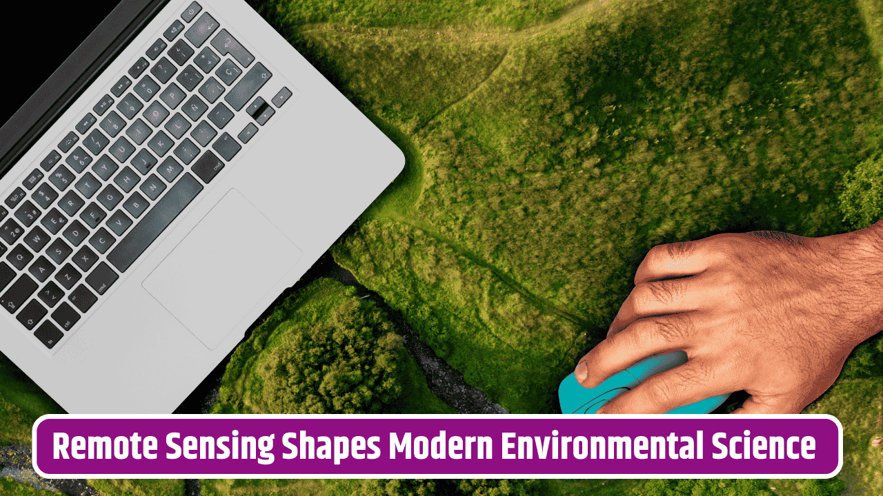
It’s wild to think how much of our planet we’ve only really “seen” thanks to satellites and sensors hovering thousands of miles above us. From tracking deforestation in the Amazon to monitoring air pollution over New Delhi, remote sensing has quietly become one of the most powerful tools in modern environmental research. What was once a niche technology used mainly by government agencies and the military is now shaping how we understand climate change, biodiversity, agriculture, and even the way natural disasters unfold.
Table of Contents
What Exactly is Remote Sensing?
At its core, remote sensing is about collecting data without physically being in contact with the object or area being studied. Think of satellites snapping images, drones mapping coastlines, or radar bouncing signals to detect underground water. The technology relies on sensors that pick up electromagnetic radiation—visible light, infrared, microwave—and translate it into useful information.
Unlike ground surveys, which can be time-consuming and limited to specific areas, remote sensing gives us a bird’s-eye view. That means researchers can analyze massive stretches of land or ocean at once, compare changes over time, and do so without needing to physically step foot in the field.
Applications in Climate and Weather Studies
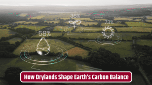
One of the most obvious uses is in tracking climate change. Satellites operated by agencies like NASA and NOAA provide critical data on rising sea levels, shrinking glaciers, and atmospheric greenhouse gases. Scientists rely on these datasets to model future scenarios—like how coastal cities might be impacted by sea-level rise in the next 50 years.
On a more immediate level, weather prediction has been transformed. Instead of relying solely on ground stations, meteorologists can now integrate satellite imagery to predict hurricanes, monsoons, and drought patterns with far greater accuracy. That’s life-saving information for governments and communities preparing for natural disasters.
Protecting Forests and Biodiversity
Deforestation is one of those issues where remote sensing has been a game-changer. High-resolution satellite images allow researchers to track illegal logging activities in near-real time. Programs like Global Forest Watch provide open-access maps where anyone can see forest loss patterns.
It doesn’t stop with trees. Wildlife researchers use drones and thermal imaging to track animal populations in regions too vast or dangerous for on-the-ground surveys. Imagine being able to count elephants across the African savannah without needing to charter a helicopter—remote sensing makes that possible.
| Application Area | Remote Sensing Contribution | Real-World Example |
|---|---|---|
| Climate Change | Tracking glaciers, sea level rise, CO2 levels | NASA’s GRACE satellites |
| Agriculture | Monitoring soil moisture, crop health | Drought early warning in Sub-Saharan Africa |
| Disaster Management | Mapping flood zones, wildfire spread | California wildfire monitoring |
| Biodiversity | Animal tracking, habitat loss mapping | Elephant census via drones |
| Urban Planning | Heat island detection, air quality monitoring | New York City air pollution studies |
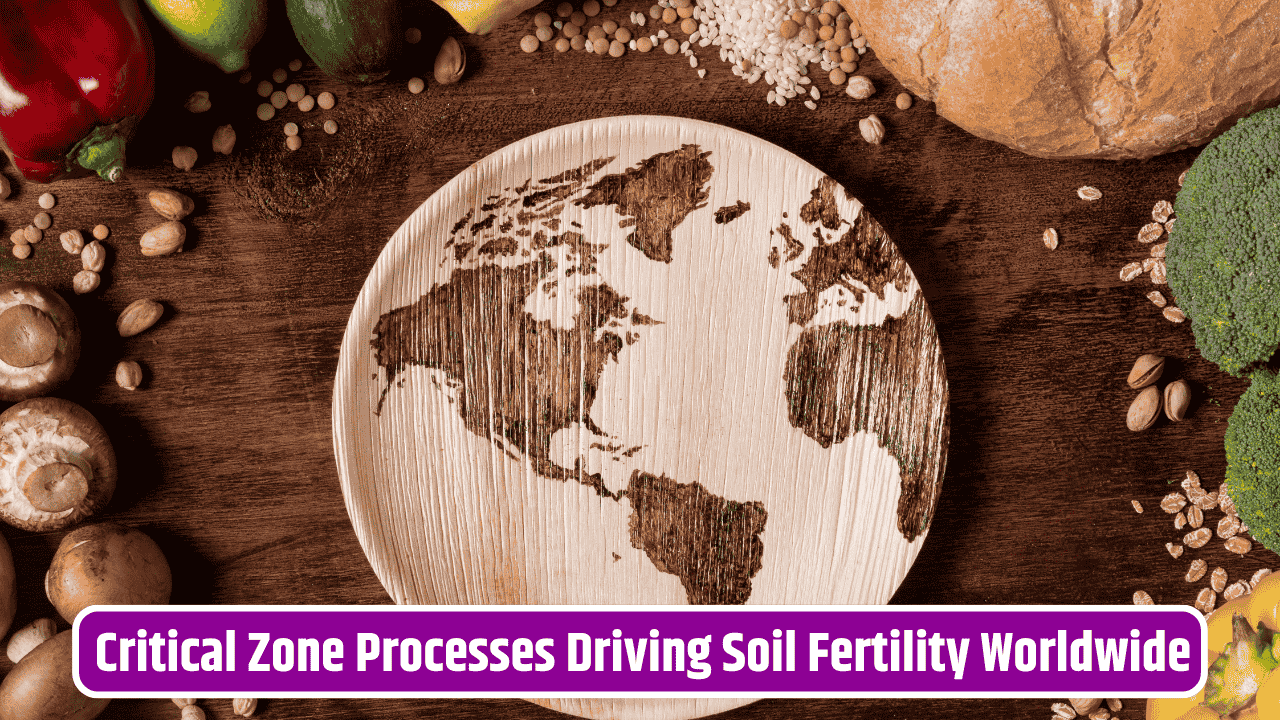
Agriculture and Food Security
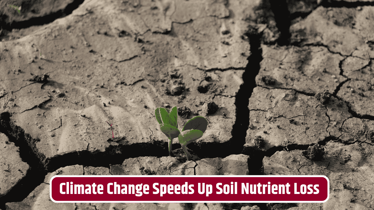
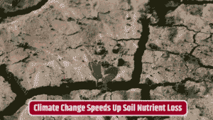
Farmers and agricultural scientists increasingly depend on remote sensing to monitor soil health, moisture levels, and crop growth. This isn’t just about boosting yields—it’s about resilience. In regions prone to drought, satellite imagery helps predict shortages before they spiral into famine. The U.S. Geological Survey (USGS) maintains the Landsat program, which has been monitoring Earth’s land cover since the 1970s, offering invaluable insights for global food systems.
Precision agriculture, where farmers use detailed data to optimize fertilizer and irrigation use, wouldn’t be possible without this technology. It’s cost-effective, eco-friendly, and addresses one of the biggest challenges of our century: feeding billions without wrecking the planet.
Disaster Response and Humanitarian Aid
When floods hit Pakistan or wildfires rage in California, remote sensing provides real-time maps showing which areas are most affected. Aid groups can prioritize where to send resources, while governments can assess damages quickly. Even earthquakes, which strike suddenly, benefit from radar sensing technologies that measure shifts in the Earth’s crust.
Imagine how difficult it would be to send rescue teams blindly into disaster zones. Remote sensing cuts through that uncertainty, giving responders the knowledge they need to act fast.
The Challenges and Limitations
Of course, it’s not a perfect tool. Cloud cover can block satellite sensors. Data analysis requires specialized training and expensive software. Some regions, especially in the Global South, lack access to the latest imagery or the computing power needed to process it. There are also political sensitivities—some governments aren’t thrilled about satellites capturing detailed images of their territories.
Despite these hurdles, the trend is clear: as technology gets cheaper and more accessible, remote sensing will only become more vital to environmental science and policymaking..
FAQs
How does remote sensing differ from GIS?
Remote sensing collects raw data via sensors, while GIS (Geographic Information Systems) organizes and analyzes spatial data. The two often work hand in hand.
Can drones be considered remote sensing tools?
Yes, drones equipped with cameras or sensors are widely used for small-scale, high-resolution environmental monitoring.
Is remote sensing data available to the public?
Many datasets, like those from Landsat or MODIS, are open-access and free for public use.
What role does AI play in remote sensing?
Artificial intelligence helps analyze the massive volume of images and detect patterns—like spotting illegal logging or predicting crop failures.
What’s the future of remote sensing in environmental research?
Expect more integration with AI, real-time monitoring systems, and greater accessibility for researchers worldwide.