Stand on a beach at low tide, and you’ll see the waves pull back to reveal sand, rocks, and the occasional crab scuttling away. It looks like a simple transition from land to sea. But beneath that shifting shoreline is one of the most complex and least understood zones on Earth—the coastal Critical Zone. It’s the hidden boundary where freshwater flowing underground meets saltwater pushing inland, and scientists are just beginning to map how it works. What they’re finding has huge implications for drinking water, ecosystems, and climate resilience.
Table of Contents
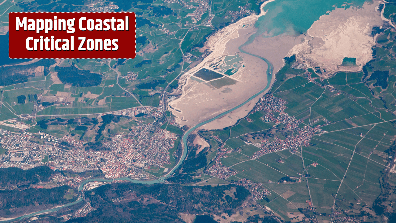
What Is a Coastal Critical Zone?
The Critical Zone, broadly, is the thin skin of the Earth stretching from bedrock to the treetops. Along coasts, it becomes a special case: a boundary where land-based systems (soils, aquifers, roots, microbes) intersect with marine processes (tides, waves, saltwater intrusion).

This interface is dynamic. Rainwater seeps down through soils, carrying nutrients and pollutants. Tides push saltwater into aquifers. Waves stir sediments that harbor microbes. Together, these interactions create hotspots for chemical reactions, nutrient cycling, and habitat formation.
Why Scientists Are Mapping It Now
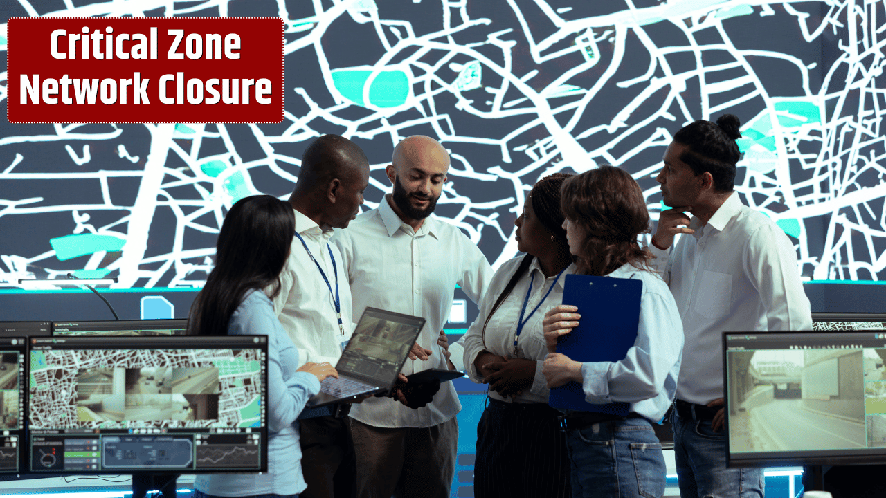
Until recently, most studies of coasts focused either on the ocean or the land. The in-between zone was overlooked because it’s so hard to study—buried underground, constantly shifting with tides, and highly variable from one coastline to another.
New tools are changing that. High-resolution sensors, drones, satellite data, and groundwater tracers are allowing scientists to map coastal Critical Zones in 3D. The U.S. Geological Survey is actively studying how saltwater moves into aquifers along the Atlantic and Gulf coasts, while the EPA tracks nutrient pollution from rivers to estuaries.
Why It Matters for People and Ecosystems

The coastal Critical Zone isn’t just a scientific curiosity—it’s the frontline of some of today’s most urgent challenges.
| Key Process in Coastal Critical Zone | Why It Matters | Real-World Example |
|---|---|---|
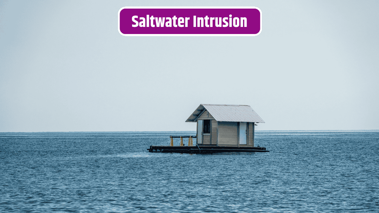
| Saltwater Intrusion | Threatens freshwater aquifers and drinking water | Florida’s aquifers increasingly contaminated by seawater |
| Nutrient Cycling | Balances ecosystems, but excess runoff causes dead zones | Gulf of Mexico “dead zone” from farm fertilizers |
| Carbon Storage | Coastal wetlands (mangroves, marshes) lock away carbon | Blue carbon projects in the Chesapeake Bay |
| Pollutant Filtering | Soils and microbes filter contaminants before they hit the sea | Estuaries reducing nitrogen from rivers |
| Habitat Support | Critical for fish nurseries, birds, and biodiversity | Salt marshes sustaining East Coast wildlife |
When these systems function, they provide drinking water security, healthy fisheries, and climate buffers. When they break down—through over-pumping groundwater, sea-level rise, or pollution—the consequences ripple far inland.
The Climate Change Factor
Rising seas and stronger storms are pushing saltwater further into aquifers, wetlands, and soils. Coastal communities from Louisiana to Bangladesh are already losing farmland and freshwater. Meanwhile, warming oceans intensify algal blooms fed by nutrient runoff, worsening dead zones.

In short, climate change is shifting the boundary where land meets sea, making it more urgent than ever to understand and protect coastal Critical Zones.
Mapping as a Tool for Adaptation
Detailed maps of these zones give policymakers and communities a critical advantage. They help cities decide where to build (or retreat from), how to manage aquifers, and which wetlands to restore. They also reveal where pollution hotspots need urgent cleanup.
Projects like the National Coastal Resilience Fund in the U.S. are already using such science to guide investments in nature-based defenses like marsh restoration and living shorelines.
The Bigger Picture
The beauty of coastal Critical Zones is also their vulnerability—they’re narrow, constantly shifting, and vital to both land and sea. By mapping these hidden boundaries, scientists aren’t just filling in blank spaces on charts. They’re giving humanity the knowledge to safeguard water supplies, restore ecosystems, and adapt to a rapidly changing climate.
The next time you watch the tide roll in, remember: there’s an invisible frontier beneath your feet, shaping the health of both the ocean and the land.
FAQs
What is the biggest threat to coastal Critical Zones?
Sea-level rise and overuse of groundwater, which allow saltwater intrusion into freshwater systems.
How do wetlands fit into coastal Critical Zones?
They’re vital buffers, storing carbon, filtering water, and protecting coasts from storm surges.
Can technology really map underground coastal zones?
Yes—using groundwater tracers, geophysical imaging, and satellite data, scientists can model hidden flows.
Why should inland communities care?
Because coastal aquifers and wetlands affect national food supplies, fisheries, and even global carbon cycles.
Can degraded coastal zones be restored?
Yes, through wetland restoration, managed aquifer recharge, and policies to reduce nutrient runoff.